Survey of Lands
Sponsored by National Remote Sensing Centre, ISRO, Department of Space, and Government of India.
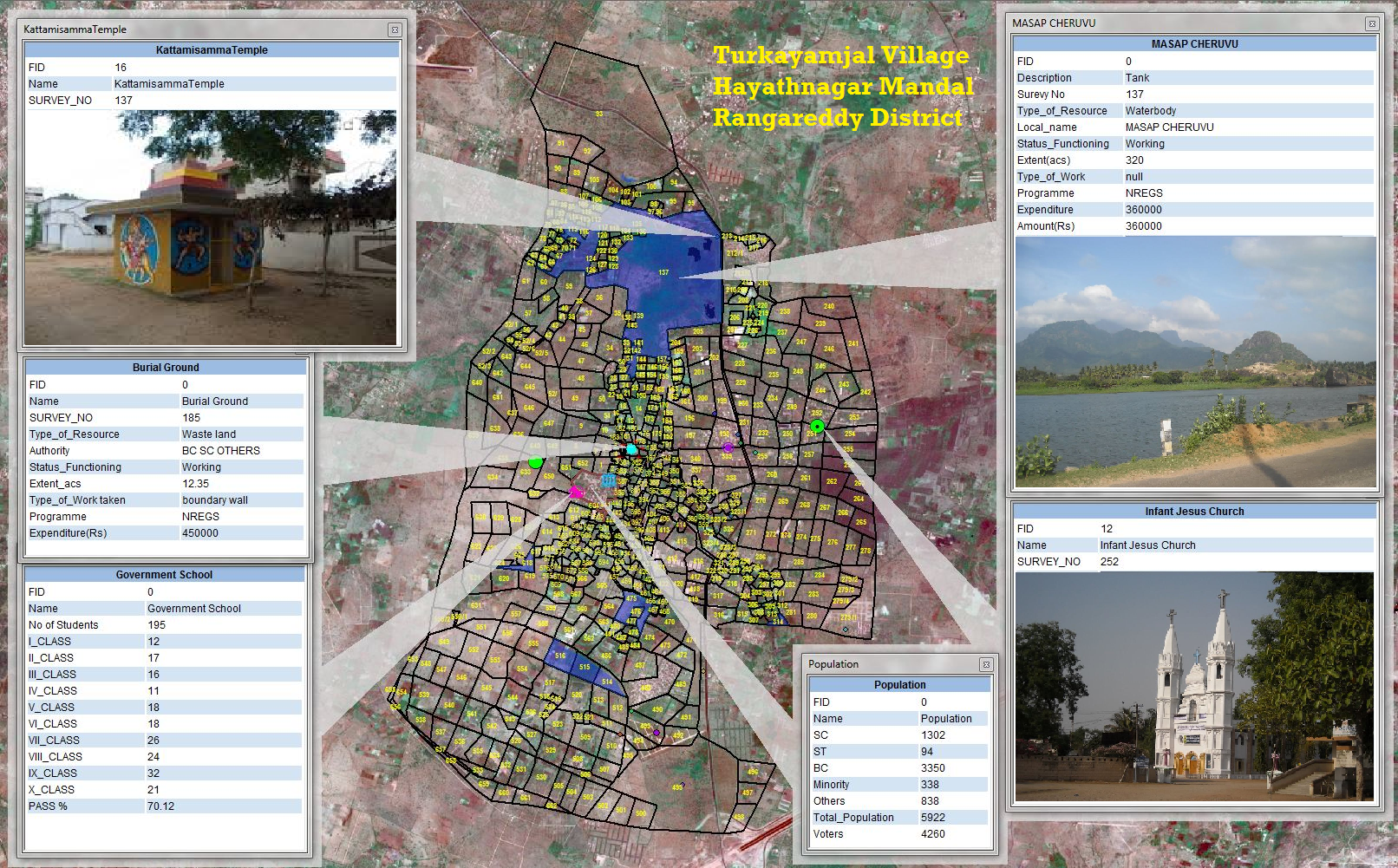
TRAC has contributed to the spatial depiction of reliable Land and Water resources information at 1:10,000 scale to support effective Management of Natural Resources in Planning, Implementation and Monitoring of Developmental activities.
10,250 village cadastral maps have been digitized on high priority and submitted to ISRO/NRSC. The data would be hosted in Bhuvan Panchayat for development and monitoring of decentralized planning.